USDA Economic Research Service Data Sets
" " " "
Data Sets

Print this page Print | E-mail this link E-mail | Bookmark & Share Bookmark/share | Translate this page Translate | Text only Text only | resize text smallresize text mediumresize text large

County Courthouse Photos: Moniteau County Courthouse (Built 1868), California, Missouri

[ << First | < Previous | 185 of 328 | Next > | Last >> ]
Click for full image of Moniteau County Courthouse (Built 1868), California, Missouri
Photo taken May 2000. Posted July 2000.
Photo by Calvin Beale.

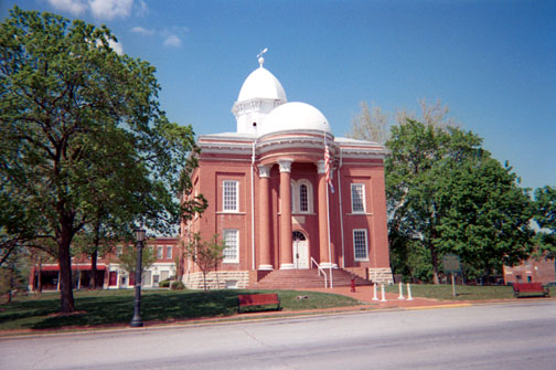
Moniteau County, Missouri description

2003 Rural-Urban Continuum Code = 3
Counties in metro areas of fewer than 250,000.

2003 Urban Influence Code = 2
Small-in a metro area with fewer than 1 million residents.

Land Area (sq mi) = 416.5
2000 Population Density (# / sq mi) = 35.6

Find more information on Missouri from the State Fact Sheets.

See the Measuring Rurality Briefing Room for more information on the Rural-urban Continuum Codes, and the Urban Influence Codes.

Map of the Moniteau County, Missouri area.

[ << First | < Previous | 185 of 328 | Next > | Last >> ]
[ County Courthouse Photos ]


For more information about this photo, contact: Tim Parker

Web administration: webadmin@ers.usda.gov

Updated date: October 28, 2008